Day trip to Isinuta & Puerto San Fransisco
We would like to get to know the countryside here a bit more and also I’d like to do some fishing, so we decide to head out on a day trip to the Isiboro Secure national park and after that, Puerto San Fransisco, where the Guide in Parque Nacional Carrasco said it’s good fishing.

2Km East after VT there’s a army checkpoint on the left, where we cross without issue. 5Km of road works, then a 40Km stretch of pebble road all the way to Isinuta. The first half is very bumpy. The second half can be endured by accelerating to about of 50Km/h and trying to maintain a level course. Horrible grey concrete speed bumps which seem to blend in with the road surface appear around towns, sometimes without warning.


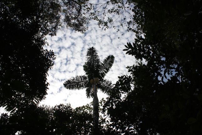
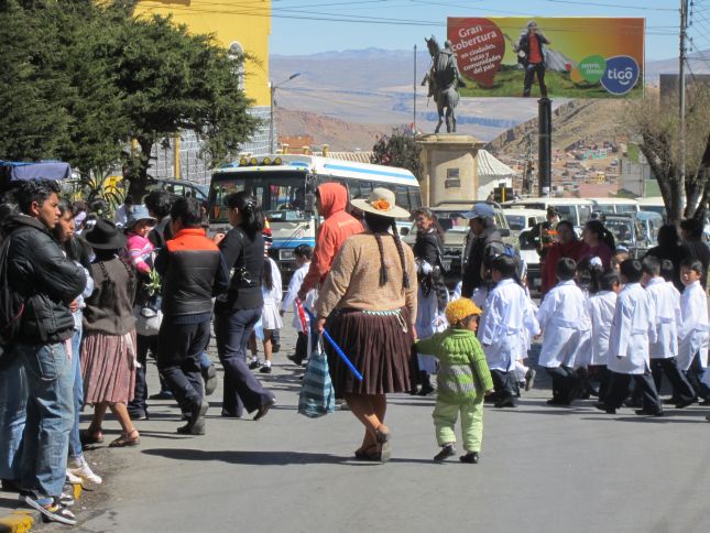
The road leads through lush jungle and crosses a few muddy rivers. It’s hard to notice that you’re actually in a major coca farming area. Apparently this has become the chosen occupation for more and more as there’s good money in it and people can earn more than they would in any run-of-the-mill job. Some people tell us that (aside from oil exploration in the national park), the main drivers to build this disputed San Ignacio de Moxos Highway through the national park is to service narco traffic, and opportunistic cocaleros will illegaly annex more land to their coca plantations. A Bolivian government estimate says that 10% of the park has already been deforested by cocaleros. Looking at the map, I really don’t see why they need to build this road right through the middle of this protected area, which is also home to many of Indigenos.

Some of the towns, especially Samusabeti, seem to be well stocked with hardware stores and workshops. A good place to break down I recon. 😉 They don’t seem to be short of mechanics but I cannot say whether they’re equipped to work on larger bikes.

Where the road ends there is a river. When this cannot be crossed by motorbike (we’re in dry season and a moto crossing would have been madness) a canoe or unimog might take you across to what is the national park Isiboro Secure. If you’re unfortunate, by the time you get to the end of this road it will continue with a bridge across the river and take you right through the national park, towards Brazil. The construction of this road is currently a highly contentious political issue in Bolivia. Some want the road and others don’t. The Indigenos are highly pissed off. They even marched all the way to the capital in protest and there are frequent disruptions to road traffic North of Santa Cruz as far as I understand.

End of the road to Isiboro Secure…
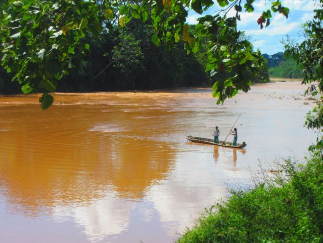
About 1Km after the army checkpoint on the right is the route that leads past Chipiriri, Villa 14 Septiembre and Puerto San Fransisco (about 32Km from Villa Tunari). This is a pebble road as well. Villa 14 Septiembre has a charming little plaza. Around Pto. San Fransisco is a confluence of many rivers and I’m told there is good fishing here. However by the time we arrive it’s late afternoon and too late to get the lines out.


Note: We investigated using these routes to shortcut through up to the city of Trinidad, however this did not appear to be such a good idea. For more info about this read our Return to Villa Tunari post.

2 Comments
Pingback:
Pingback: